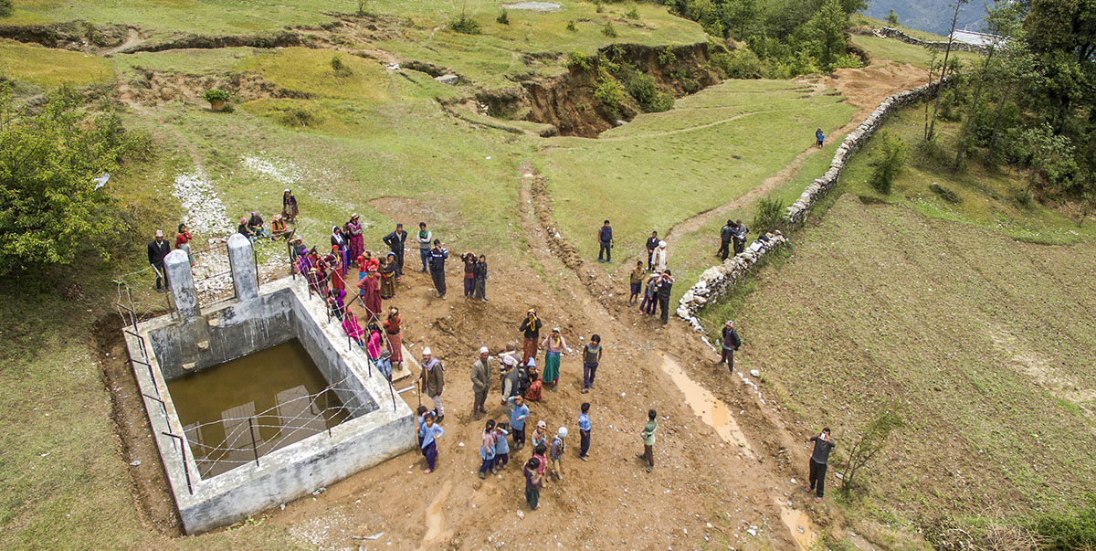
Description of actual services provided in the assignment:
The main objective of the project was to collect and prepare spring inventory and catalog and to establish methodology to demarcate groundwater potential zones in the mountainous terrain with the help of remote sensing and Geographic Information System (GIS) techniques. The groundwater potentiality information could be used for effective identification of suitable locations for extraction of potable water for rural populations.
The scope of the work is divided into two main categories, namely data collection and data analysis.
Data Collection:
Various data were collected during the desk study phase as well as from the field work. The following data were collected during the Desk study phase:
- Existing maps and reports;
- Satellite imageries of the study area;
- Digital topographic map of DoS;
- Precipitation data from DHM
Field work was carried out in selected site so as to collect the following data:
Geology of the area;
- Available springs and seepage in the area;
- Site specific geological condition around the springs;
- Major discontinuities in the area;
- Present condition of drinking water availability;
- Major source of drinking water;
- Topographical control on groundwater flow and availability;
- Geomorphological control on groundwater availability;
- Effect of land use condition on groundwater availability
The study team designed appropriate structured and unstructured questionnaires as applicable to acquire the above-mentioned information. Likewise, the relevant data were also collected from WRRDC, GWRDB, District Soil Conservation Office, Drinking Water and Sanitation Division/Sub Division Offices (DWSD), and NGOs and INGOs and other concerning Groundwater related Agencies in the area. The data collected during the desk study phase and field investigation were stored in the GIS environment so as to ease the data analysis work leading to preparation of the groundwater potential map of the area. Base on the analysis of the data, final report was prepared and submitted to the WRRDC.


